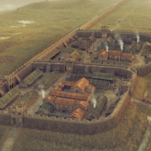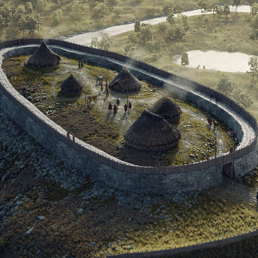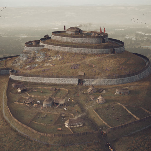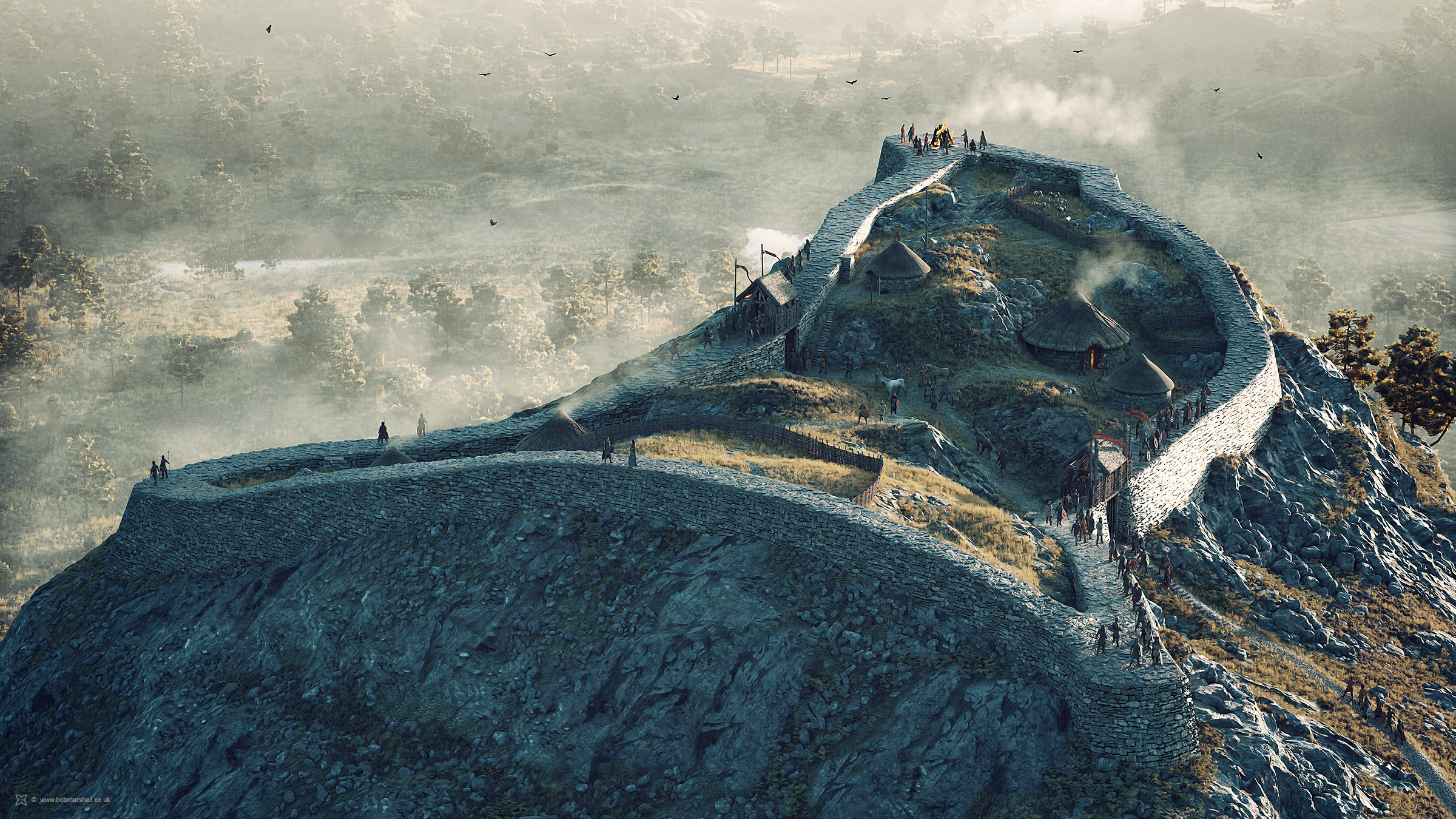
Dun da Lamh is a substantial Pictish hillfort crowning a rocky knoll near Laggan in Badenoch, overlooking the junction of the River Spey with the River Mashie and Strath Mashie. Its Gaelic name, meaning “fort of the two hands,” may refer to the twin crags that define the summit on which it stands. The fort occupies about 4,000 square metres of uneven terraces and rock shelves, on which we can speculate that timber-hut dwellings may once have stood, although there is no evidence for this. A single massive stone rampart, up to roughly 7.5 metres wide, encircles the summit, exploiting sheer slopes and vertical crags on the east and south to create a strongly defended enclosure. Though visually impressive, the walls now survive mainly as tumbled rubble, with stretches of original facing still visible, especially towards the western side. Dun da Lamh is generally regarded as an Early Pictish stronghold, probably dating to around the late Iron Age or early first millennium AD, but it has not yet been excavated, so its exact chronology remains uncertain. Survey work in the early 2010s and aerial photography in 2017 have refined the understanding of its layout. The site offers commanding panoramic views that underscore its original role as both defensive fortress and territorial statement for its Pictish occupants.
How this image was made
Software and tools used: Blender 3D, Cycles Render Engine, Photoshop
Notes: The digital reconstruction was developed from a 3D model by combining limited archaeological evidence and topographical survey data with input and advice from several archaeologists. The final image, however, is highly speculative.
Commissioned Work
Artist:
Bob Marshall. September, 2020
Project consultants:
Matt Ritchie, Gordon Noble
Client:
badenochstorylands.com / Cairngorms National Park Authority
Image rights owner:
© badenochstorylands.com / Cairngorms National Park Authority
Please seek the permission of the owner to use or display this image elsewhere.
My 3D models cannot be shared or licensed for other use due to contractual agreements with my clients and, in some cases, other stakeholders. More information can be found on my Licensing information page.