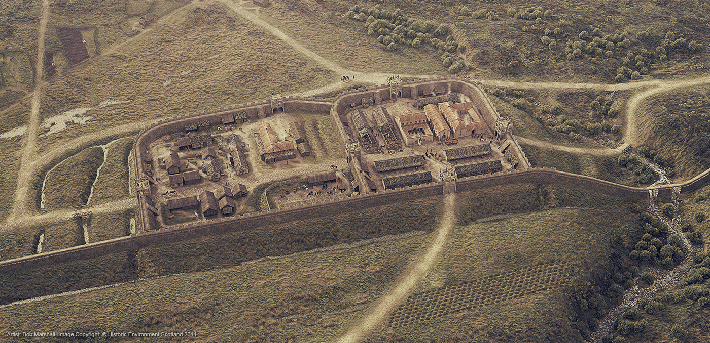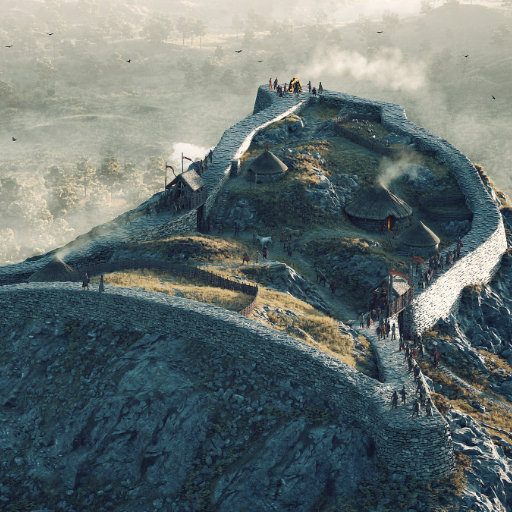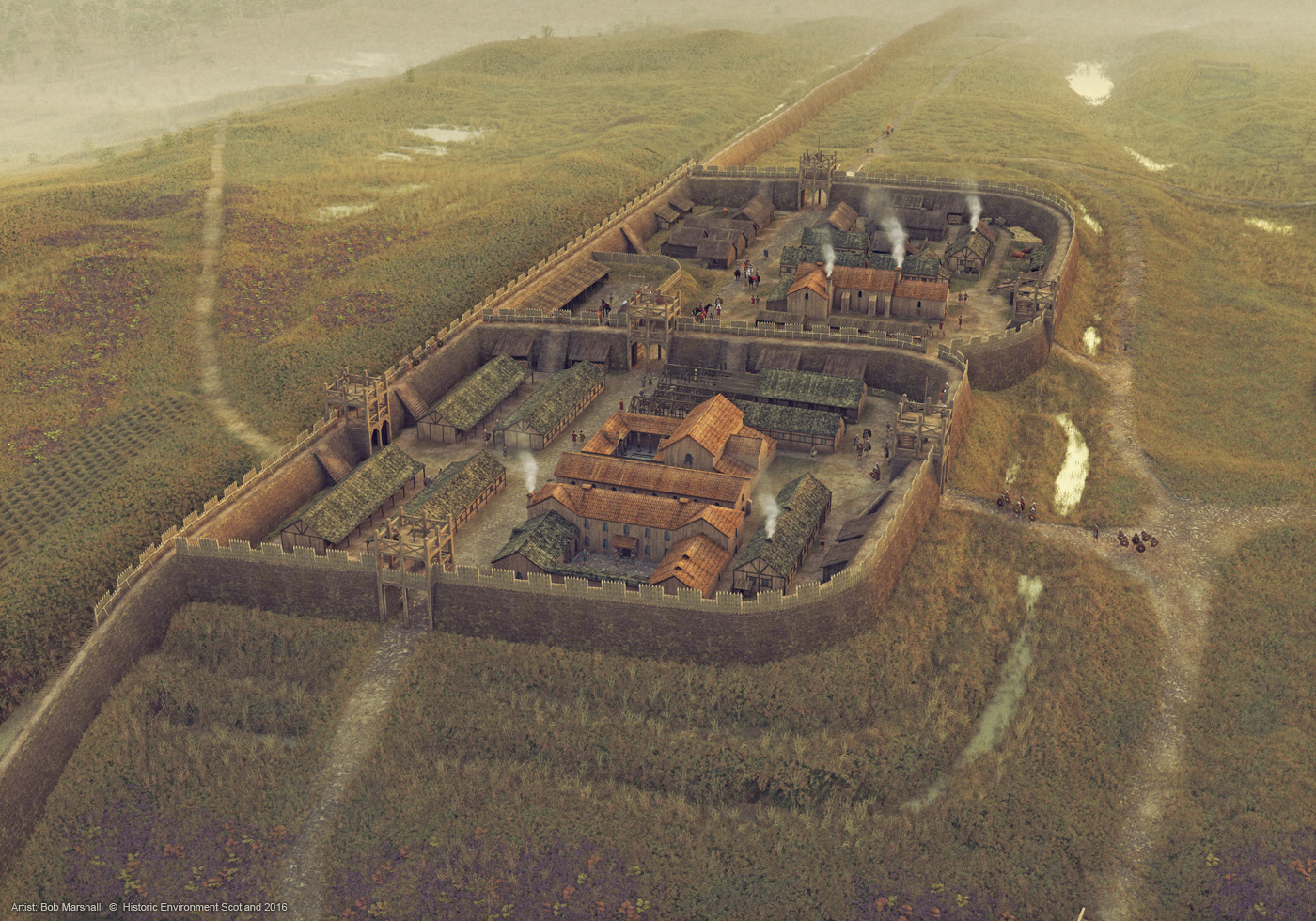
Rough Castle Roman Fort is a mid‑2nd‑century Roman outpost on the Antonine Wall, about 2 kilometres south‑east of Bonnybridge and west of Falkirk, occupying a commanding escarpment above the Rowan Burn. Built around AD 142–144 as part of the empire’s north‑west frontier, it was a small fort of roughly 0.4 hectares that probably housed about 480–500 soldiers of the Sixth Cohort of Nervii, supporting the frontier turf‑built Antonine wall running between the Forth and Clyde rivers. The fort was set against the rear (south side) of the wall with about 6‑metre‑thick turf ramparts, multiple ditches, gateways on all four sides, and causeways crossing the main and subsidiary ditches. It is particularly noted for its well‑preserved earthworks and for the “lilia” – rows of defensive pits once filled with sharpened stakes and brushwood, a rare survival in Britain and a vivid illustration of Roman defensive planning. Excavations have revealed stone‑built structures unusual for the Antonine frontier, including barracks, a headquarters building, a commander’s house, a bath house and granary, though only their low grassed‑over foundations are visible today. Rough Castle is widely regarded as one of the best places to experience the form and landscape setting of the Antonine Wall. This digital reconstruction view faces east, showing the principal fort in the foreground, and the annexe behind with auxiliary buildings and a bath house. The image was developed from a digital 3D model using archaeological and geospatial survey data.
How this image was made
Software and tools used: Blender 3D, Photoshop
Commissioned Work
Artist:
Bob Marshall. October, 2014
Client:
Historic Environment Scotland
Image rights owner:
© Historic Environment Scotland
Please seek the permission of the owner to use or display this image elsewhere.
My 3D models cannot be shared or licensed for other use due to contractual agreements with my clients and, in some cases, other stakeholders. More information can be found on my Licensing information page.